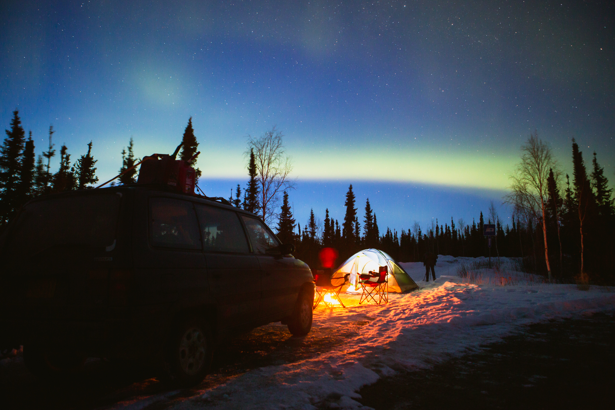
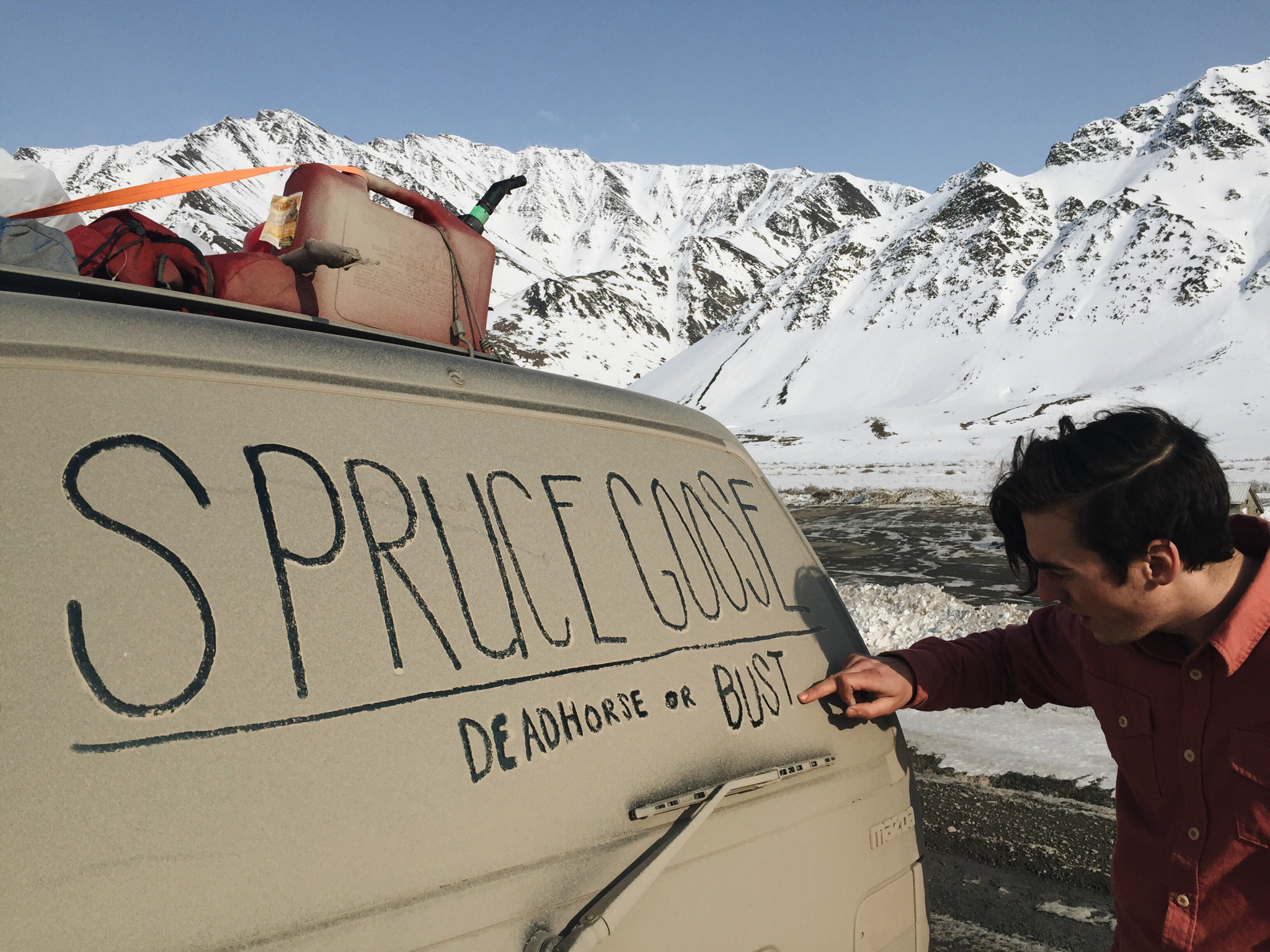
I was eating lunch in Anchorage with three friends when the topic of visiting the Arctic Circle came up. Dewey and Mikey lived around Anchorage and hearing them talk about their past trips to Atigun Pass sparked the desire for me and Garrett. We packed up Dewey’s “new” van (a 1993 Mazda MVP 4WD we nicknamed the “Spruce Goose”) and headed north.
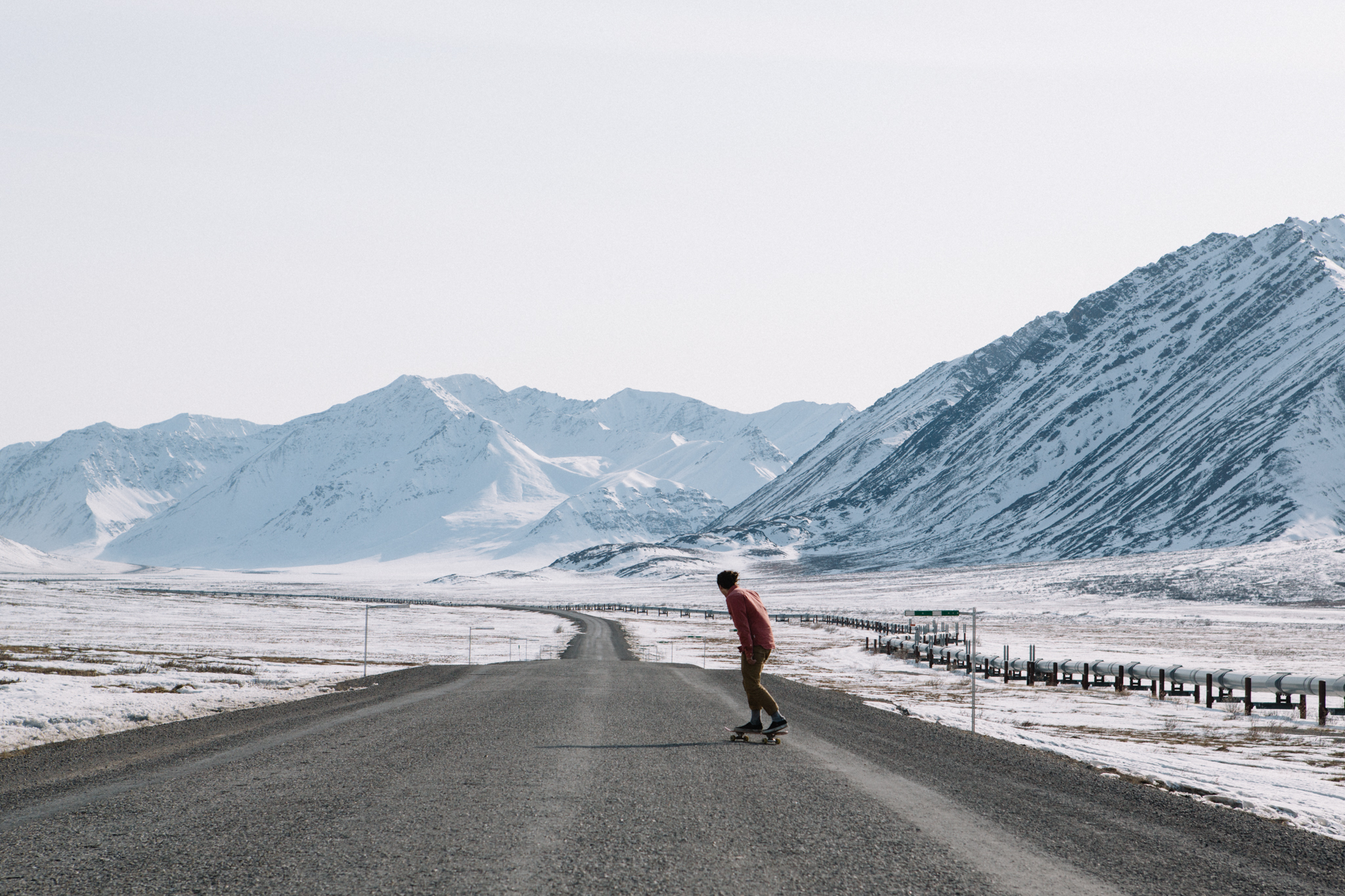
The James Dalton Highway is a 414 mile long-haul road that begins north of Fairbanks and ends at Deadhorse, near the Arctic Ocean. It is well known as the route that takes truckers to the north terminus of the Trans-Alaska Pipeline System in Prudhoe Bay. Once called the North Slope Haul Road, it is one of, if not the most, dangerous roads in America.
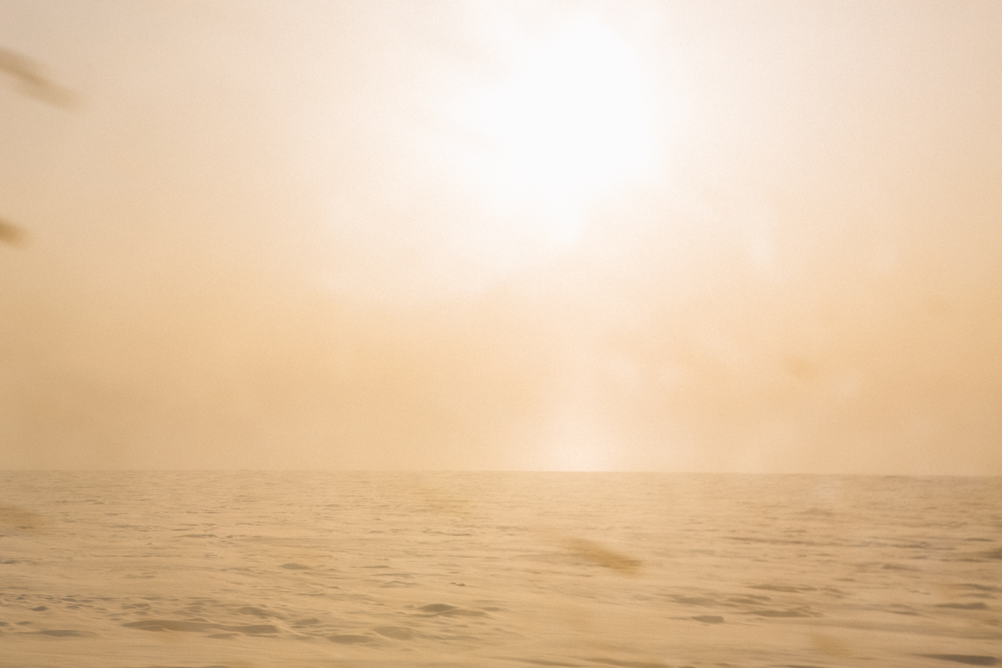
2 hours and 60 miles south of the Arctic Ocean, a haze began to fill the air to the north and west, and it got cold. I’m not sure what the actual temperature was, but cold enough that the heater no longer blew hot air and cold enough that we all wished we weren’t already wearing our heaviest jackets. The low sunlight seemed to radiate the haze into an endless horizon, turning both the sky and ground orange in a way that was utterly confusing. It was hard to say where ground ended and sky began.
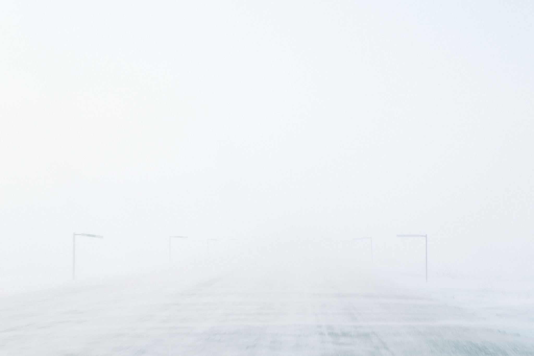
All along the side of the highway are markers called delineators for telling where the road is when visibility is low. In normal visibility you can see them for miles and miles, but as we continued north visibility lowered and the storm increased. We had no choice but to keep going, the only gas being at our end destination, so we put the van in 4WD and hunkered down. As things worsened, Dewey, who had worked on the north slope before, called out “Phase 1!” The whiteouts in this country are measured in Phases, 1, 2, and 3. Each Phase is differentiated by a few factors like wind speed, temperature, and ultimately visibility, with Phase 1 being the mildest. It doesn’t snow as much in the Arctic as one might think, but the snow that does fall gets blown for hundreds of miles, building up into massive snowdrifts and completely saturating the sky.
As we traveled on, conditions grew worse. Dewey was driving, with Garrett and I in the back seat watching his left side, and Mikey in the front watching the right side. A slight turn off the road would result in us sinking into a snowdrift of undetermined depth. “Right, right!” someone yelled, “Left, left!” and so on. Every 10-15 minutes a semi would pass us in the opposite direction showering us with ice and snow. Even at our speed of 20 MPH, visibility became completely nonexistent. When we had entered into Phase 1 we could see 5-7 delineators. Dewey announced that we were now in a Phase 3 whiteout. Stopping brought the certain risk of being hit by a semi, but so did continuing onwards.
Finally, 20 miles short of Prudhoe Bay, we hit a snow drift, turned sideways on the highway, and somehow recovered. As we recovered, a generator powering lights appeared on the left of the road and we limped over to it hoping to wait out the storm. We could no longer see anything, and after about an hour of sitting there, none of us knew how close we were or weren’t to the road. In another hour, Dewey told us that a Phase can last an hour, two hours, or two weeks. We had plenty of food and warm gear, but in reality, how long could we stay here until we became the bottom of a snow drift, or until a semi came by and sideswiped us?
Then came help. Two industrial-sized snow plows appeared going each way up and down the highway. It turned out we were just a mile or so short of the place recently declared as a disaster area. The Sag river was washing away the entire highway to our north, and the lights we were parked by denoted the entrance to a temporary work camp set up in response to this situation. Finally, a worker came and told us we needed to follow them back to their camp. Although we couldn’t see the buildings that night as we drove right past them, we had initially parked less than three hundred yards from the only inhabited place in between Coldfoot and Prudhoe. The worker told us nothing more and drove off.
After a bleak night in the Mazda, dreaming of warm places only to be awoken by the wind rocking the van back and forth, the storm broke. It was 5:33 AM and a man came out and told us to come inside. I remember standing out in the purple predawn light, seeing the iced up van, and thinking “what in the hell is happening?” The temperature was 6°, with a wind chill of -33°. “Getting warmer,” said our new friend.
They fed us breakfast and said that although they could not detain us, we would be absolutely crazy to try to leave in current conditions. They said there were plows going out that day and that we were welcome to sit in the TV room and wait for further instruction. After a few hours we found out that the snow drift that turned us sideways the night before, while only a couple of feet deep at the time, was now covering the entire road. More waiting. Finally, at noon, they came rushing in and told us that the road south was “OK,” and that we needed to leave immediately before the weather came back again. They fed us lunch and completely refilled our gas tanks, and sent us on our way South. I am still consistently amazed at the complete altruism these strangers showed towards us.
Needless to say, we didn’t stop for any photos on the way down south. We made the 15-hour drive to Fairbanks in mostly silence, reflecting on the highs and lows of the past 24 hours. Although we were far beyond lucky, the severity of the Arctic is still fresh in my mind and something that has stayed with me in the months since.
- Forrest Mankins
FORREST MANKINS is an outdoor lifestyle + adventure photographer and film producer based in Portland, Oregon. His latest project, forthcoming documentary “A Life Alive” led him on a 6 month, 20,000+ mile road trip from the midwestern U.S. to the arctic circle in Alaska and back. His passion lies in the joy of the journey, and his photography comes from the desire to tell the stories that happen along the way.
Instagram: @forrestmankins
Website: forrestmankins.com
Tumblr: forrestmankins.tumblr.com


